Pacific Coast Highway Itinerary: 5 Days From San Francisco to LA
About 500 miles of California coast in five unhurried days. The plan puts Big Sur on its own day, explains how to check for closures, and shows what the trip costs at three budget levels.
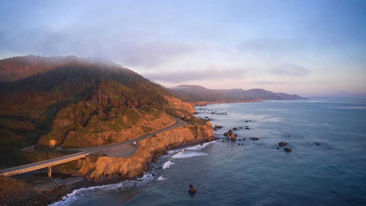
Five days is the right length to drive the Pacific Coast Highway, California’s Highway 1, from San Francisco to Los Angeles: one night each in Santa Cruz, Monterey or Carmel, San Simeon or Cambria, and Santa Barbara. The route is about 500 miles. As of November 2026, Highway 1 through Big Sur is open end to end again, but check Caltrans QuickMap before you go.
Highway 1 is the official route number; the name Pacific Coast Highway is used mainly on its southern sections, but travelers use it for the whole coast drive.
What does the 5-day Highway 1 route look like?
The plan drives south, so the ocean is on your side of the road and pulling into viewpoints is easier. The longest and slowest stretch, Big Sur, gets a full day.
| Leg | Distance | Drive time (no stops) |
|---|---|---|
| San Francisco to Santa Cruz via Half Moon Bay | about 75 miles | 2 hours |
| Santa Cruz to Monterey | about 45 miles | 1 hour |
| Carmel to San Simeon through Big Sur | about 95 miles | 2.5–3 hours |
| San Simeon to Santa Barbara | about 135 miles | 2.5 hours |
| Santa Barbara to Santa Monica via Malibu | about 95 miles | 2–2.5 hours |
Through Big Sur, Highway 1 is a two-lane road with sharp curves and long drops. Use turnouts to let faster cars pass, and plan to drive it in daylight.
What should you do each day?
Day 1: San Francisco to Santa Cruz
Leave the city on Highway 1 through Pacifica to Half Moon Bay. Stop at Pigeon Point Light Station and, in season, Año Nuevo State Park, where elephant seals haul out on the beaches; in the winter breeding season, access to the seal area is by guided walk. End at the Santa Cruz Beach Boardwalk and West Cliff Drive. Base: Santa Cruz.
Day 2: Monterey and Carmel
Stop at Moss Landing, where sea otters are often seen in the harbor and Elkhorn Slough. Spend the late morning at the Monterey Bay Aquarium and walk Cannery Row. In the afternoon, drive the 17-Mile Drive, a private toll road through Pebble Beach, and finish in Carmel-by-the-Sea. Base: Monterey or Carmel.
Day 3: Big Sur
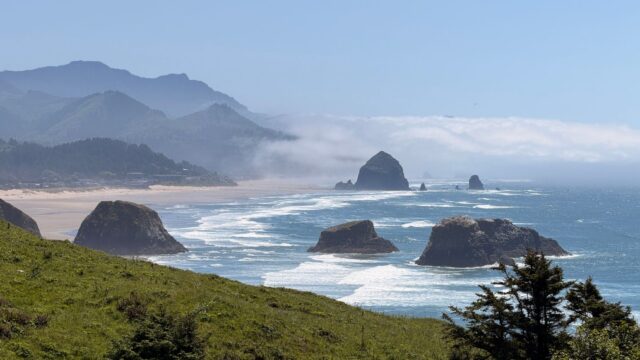
Arrive early at Point Lobos State Natural Reserve, whose small lots fill fast. Heading south, stop at Garrapata State Park, Bixby Creek Bridge, Pfeiffer Big Sur State Park and the McWay Falls overlook in Julia Pfeiffer Burns State Park. Pfeiffer Beach is reached by a narrow road that is not suitable for RVs or trailers. South of Ragged Point, stop at the elephant seal viewing area near Piedras Blancas. Buy gas in Carmel: stations in Big Sur are few and expensive, and cell service is patchy. Base: San Simeon or Cambria.
Day 4: Hearst Castle to Santa Barbara
Take a morning tour of Hearst Castle, the hilltop estate run as a California state historical monument. Drive on through Cambria and Morro Bay, with its volcanic rock in the harbor, and San Luis Obispo. Reach Santa Barbara for sunset on Stearns Wharf and dinner downtown. Base: Santa Barbara.
Day 5: Santa Barbara to Los Angeles
Visit the Old Mission in the morning, then drive through Ventura and Point Mugu to Malibu. Stop at El Matador State Beach or Point Dume before the last stretch to Santa Monica Pier. Plan to reach Los Angeles outside weekday rush hours.
Is Highway 1 through Big Sur open, and how do you check?
Yes, as of November 2026. Caltrans reopened Highway 1 at Regent’s Slide on January 14, 2026, months ahead of schedule, restoring the full coastal connection between Carmel and Cambria for the first time in nearly three years. Caltrans warned that full closures can still happen for short periods while crews clear debris after storms, and that construction can cause delays.
- Check Caltrans QuickMap the night before and the morning of your Big Sur day.
- Read the latest Highway 1 updates on the Caltrans District 5 page, which covers Monterey, San Luis Obispo and Santa Barbara counties.
- If a section is closed, use US-101 inland between Monterey and San Luis Obispo; it is faster but skips the coast.
- Avoid driving Big Sur at night or in heavy rain, when rockfall and fog are most likely.
What should you book ahead?
- Big Sur and Carmel lodging: book months ahead for summer and fall weekends. Big Sur has few rooms; Cambria, San Simeon and Monterey have more choice.
- Hearst Castle tour: book through the official state park ticket site a few weeks ahead for summer and holidays.
- State park campgrounds: sites at Big Sur parks are reserved through ReserveCalifornia, up to six months ahead, and popular dates go quickly.
- Monterey Bay Aquarium: buy tickets online before busy weekends and school holidays.
- Rental car: a one-way rental from San Francisco to Los Angeles is common but may carry a drop fee. Our guide to renting a car for a road trip explains how to compare.
When is the best time to drive the Pacific Coast Highway?
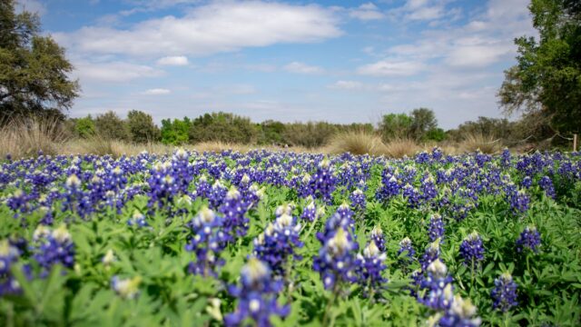
September and October are the best months, with the warmest and clearest coastal weather and fewer families than summer. April and May bring green hills and wildflowers.
| Months | What to expect |
|---|---|
| March–May | Green hills, wildflowers, gray whales migrating north; some rain early |
| June–August | Frequent morning fog, sometimes all day in Big Sur; peak prices |
| September–October | Clearest skies and warmest water; busy weekends |
| November–February | Quiet and cheaper; storms can close Highway 1; elephant seal pupping season at Piedras Blancas |
How much does a 5-day PCH road trip cost?
For two people sharing a room and a car over four nights, plan on roughly $1,700–$2,300 on a budget, $2,900–$3,700 mid-range and $5,000 or more for comfort, excluding flights. These are planning estimates as of November 2026.
| Item | Budget | Mid-range | Comfort |
|---|---|---|---|
| Lodging per night | $140–$220 (motels, inland options) | $250–$400 (coastal hotels and inns) | $450–$800 (Big Sur and Carmel resorts) |
| Car per day | $50–$80 | $70–$110 | $100–$150 |
| Fuel for about 500 miles | $90–$130 | $90–$130 | $100–$150 |
| Food per person per day | $45–$65 | $80–$120 | $150 or more |
| Attractions for two | $80–$150 (state parks, one paid sight) | $250–$400 (aquarium, Hearst Castle, 17-Mile Drive) | $500 or more |
| Rough total for two | $1,700–$2,300 | $2,900–$3,700 | $5,000 or more |
Many state parks along the coast charge day-use parking, and the national park passes do not cover state parks.
What if you have less or more time?
- 3 days: drive San Francisco to Monterey on Day 1, Big Sur to San Simeon on Day 2, and San Simeon to Los Angeles on Day 3.
- 7 days: add Yosemite before the coast, as in our 7-day California road trip, or a second night in Big Sur and a night in Malibu.
- Two weeks: start in Seattle and follow our 14-day West Coast road trip.
Bottom line
Drive Highway 1 south over five days, give Big Sur a full daylight day, and book Big Sur, Carmel and Hearst Castle first. Check Caltrans QuickMap before the Big Sur section even though it reopened in January 2026, and travel in September or October for the clearest coast.
FAQ
How long does it take to drive the Pacific Coast Highway from San Francisco to LA?
About 9 to 10 hours of driving without stops on Highway 1, compared with about 6 hours on Interstate 5. Most travelers spread the coast route over 3 to 5 days.
Is it better to drive Highway 1 north or south?
South is usually better, because the ocean-side turnouts are on your side of the road and the views face forward along the coast.
Is Highway 1 open through Big Sur in 2026?
Yes. The Regent’s Slide section reopened on January 14, 2026, but storms can still cause short closures, so check QuickMap before driving.
Where should you stay in Big Sur?
Big Sur has a small number of lodges, inns and campgrounds that fill early. If they are full, stay in Carmel to the north or Cambria and San Simeon to the south.