Hidden Gems in Las Vegas Beyond the Strip: 12 Places Locals Use
Hidden gems in Las Vegas include the Arts District, Chinatown on Spring Mountain Road, Red Rock Canyon and Valley of Fire. Where to go and how to plan.
The best hidden gems in Las Vegas beyond the Strip are the downtown Arts District and Fremont East, Chinatown along Spring Mountain Road, Red Rock Canyon 30 minutes west, Valley of Fire about an hour northeast, and the small towns of Boulder City and Henderson. Most of them sit within a 20 to 60 minute drive of the casinos, and several cost nothing to visit. A rental car for one or two days covers nearly all of them.
Which Las Vegas neighborhoods are worth leaving the Strip for?
Downtown and its edges have the most to see on foot. The Strip itself is mostly outside the city limits, in unincorporated Clark County, and the older city center lies a few miles north.
- Arts District (18b): a grid of low warehouses south of downtown around Main Street and Charleston Boulevard, with galleries, murals, vintage and antique shops, breweries and coffee roasters. A street festival called First Friday fills the area on the first Friday evening of each month.
- Fremont East: the blocks east of the covered Fremont Street Experience are calmer, with restored neon signs, bars and small restaurants. The Mob Museum, in a former federal courthouse, and the Neon Museum, an outdoor yard of retired casino signs, are both a short ride away. The Neon Museum sells timed tickets, and evening slots sell out.
- Springs Preserve: a 180-acre site west of downtown built around the springs that made the valley habitable. It has desert botanical gardens, walking trails and the Nevada State Museum on the same grounds.
- Henderson’s Water Street District: the old main street of the neighboring city has diners, breweries and a slower pace. Nearby, a chocolate factory keeps a large cactus garden that is free to walk through.
- Boulder City: built in the 1930s to house Hoover Dam workers, this town 40 minutes southeast is one of the few places in Nevada where gambling is not allowed. Its historic center has antique stores, cafes and a railroad museum.
Which desert parks are close to Las Vegas?
Four public lands lie within about an hour, and each looks different from the others.
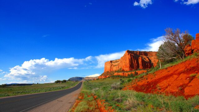
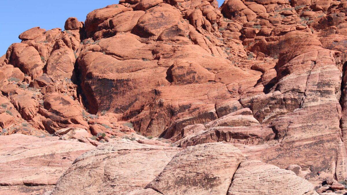
Red Rock Canyon National Conservation Area is the closest, about 17 miles (27 km) west of the Strip. A 13-mile (21 km) one-way scenic drive loops past red and cream sandstone cliffs with trailheads along the way. Calico Tanks and the Calico Hills are good half-day hikes. The Bureau of Land Management requires a timed entry reservation for the scenic drive during the busy cooler months, so book before you go.
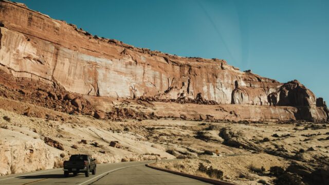
Valley of Fire State Park is about 50 miles (80 km) northeast. Its red Aztec sandstone, petroglyphs and short trails such as Fire Wave and Mouse’s Tank are spread along one paved road through the park. It is a Nevada state park, so a federal pass does not cover the entrance fee. Hours, fees and trail closures are posted by Nevada State Parks, and some trails close in summer because of heat.
Lake Mead National Recreation Area starts east of Henderson and includes Hoover Dam’s reservoir, desert coves and the Historic Railroad Trail, a flat path through old construction tunnels above the lake. The National Park Service posts current water levels and which launch ramps are open.
Mount Charleston, in the Spring Mountains northwest of the city, rises to nearly 12,000 feet (about 3,600 m). Pine forest and summer temperatures 20 to 30°F (about 11 to 17°C) cooler than the valley floor make it the local escape from heat, and there is snow in winter.
Two smaller spots are easy to fit in. Clark County Wetlands Park on the east side has flat trails and birdlife along the Las Vegas Wash. Sloan Canyon, south of Henderson, protects a wash lined with petroglyphs reached by a moderate hike.
Red Rock Canyon and Lake Mead both accept the America the Beautiful pass, and our national park pass calculator shows whether buying one pays off for your trip. To string these parks into a longer drive, see the five-day cool-season route from Las Vegas.
Where do locals eat in Las Vegas?
Locals eat along Spring Mountain Road, in the Arts District and in strip malls across the valley, where prices run well below resort restaurants.
- Chinatown: a stretch of Spring Mountain Road about a mile west of the Strip holds several miles of plazas with Chinese, Japanese, Korean, Vietnamese and Thai restaurants, plus bakeries and tea shops. Many kitchens stay open late, which suits casino workers coming off shifts.
- Hawaiian food: so many people from Hawaii have moved to Las Vegas that the city is nicknamed the “ninth island.” Plate lunches, poke and Spam musubi are easy to find, especially downtown and in the southwest valley.
- Tacos and Mexican food: the east side and North Las Vegas have taquerias, taco trucks and panaderias. Adobada cooked on a vertical spit, in the Tijuana style, is a local favorite.
- Old Vegas diners and steakhouses: Downtown keeps a few long-running coffee shops and steakhouses with booths and prices from an earlier era.
Free parking is normal at off-Strip restaurants, which is one more saving for anyone with a car. More ways to trim costs are in our list of cheap road trip hacks.
How many days do you need for off-Strip Las Vegas?
Two days cover the main places without rushing. A workable split:
- Day one, city: Springs Preserve in the morning, lunch in Chinatown, the Arts District in the afternoon, then the Neon Museum and Fremont East after dark.
- Day two, desert: Red Rock Canyon’s scenic drive and a hike in the morning, or Valley of Fire as a full day. Finish with dinner in Boulder City or Henderson.
With a third day, add Lake Mead and the Historic Railroad Trail, or Mount Charleston in summer. Visitors heading on to the big parks of Utah and Arizona can use the seven-day Grand Canyon, Zion and Bryce loop, which starts and ends in Las Vegas.
When is the best time to go, and what should you pack?
October through April is the comfortable season for desert hiking around Las Vegas. Summer highs in the valley regularly pass 105°F (41°C), and heat illness is the main risk on local trails.
- Carry at least 1 gallon (about 4 liters) of water per person for a day outdoors, and keep extra in the car.
- In summer, hike at sunrise and be off the trail by mid-morning, or go to Mount Charleston.
- Wear a hat, sunscreen and shoes with grip. Sandstone is slick when wet or sandy.
- Stay out of washes and slot canyons when storms are forecast. Flash floods arrive fast during the July to September monsoon.
- Download maps before leaving town. Cell coverage drops in Valley of Fire and parts of Red Rock Canyon.
- Fill the gas tank in the city. Stations are scarce near the parks.
Quick answers
Can you visit these places without a car?
The Arts District, Fremont East and the downtown museums are reachable by city bus or rideshare from the Strip. Red Rock Canyon, Valley of Fire and Lake Mead have no practical public transit, so the choices are a rental car or a guided tour.
Is Red Rock Canyon or Valley of Fire better?
Red Rock Canyon is closer and has more long hikes and rock climbing. Valley of Fire has brighter red rock, more petroglyphs and shorter walks, and needs most of a day because of the drive.
Are off-Strip areas of Las Vegas safe for visitors?
The places listed here are regular destinations for residents and tourists. Normal city habits apply: use rideshare at night between downtown districts, lock the car and keep bags out of sight at trailheads.
What is free to do in Las Vegas away from the Strip?
Walking the Arts District murals, the cactus garden in Henderson, Clark County Wetlands Park and the historic center of Boulder City all cost nothing.