Hollywood, Fla., Declares Emergency After Up to a Foot of Rain
Flooding closed parts of I-95 and the Florida Turnpike in Hollywood, while a Pacific storm grounded planes in San Francisco. Here is what travelers face.
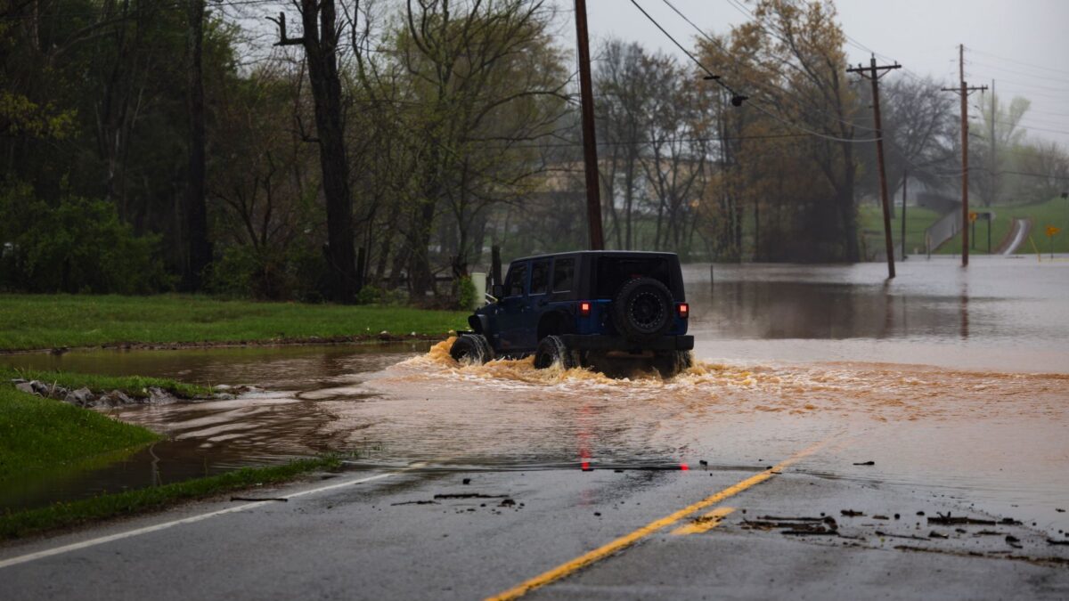
Hollywood, Florida, declared a state of emergency on Wednesday after a sluggish storm system soaked South Florida. Authorities closed stretches of I-95 and the Florida Turnpike inside the city, where high water and stranded vehicles blocked traffic.
Travel is also snarled on the opposite coast. ABC News and the Associated Press reported that heavy rain and strong winds kept planes on the ground at San Francisco’s airport and disrupted ferry service.
Broward County roads flooded
Alejandra Garcia, a meteorologist at the National Weather Service office in Miami, said early figures put rainfall at as much as a foot (30.5 centimeters) over 24 hours ending Wednesday morning in parts of Broward County. Plantation logged the largest amount.
Fort Lauderdale received 5.72 inches (14.5 centimeters) from a downpour that wrapped up early Wednesday, topping the old daily record of 1.8 inches (4.5 centimeters) from 1959, Garcia said.
Hollywood Mayor Josh Levy asked motorists to stay home unless a trip was necessary. Dispatchers there took more than 300 calls for service overnight. Levy described the downpour as “a historically significant rainfall event in the city.” Residents told him that speeding vehicles pushed a wave of floodwater toward their houses.
No one was hurt when the roof of Temple Sinai in Hollywood caved in under the rain.
How El Niño fits in
Garcia explained that El Niño, a natural warming pattern, has upset the state’s normal dry season, which stretches from October to May. She said it is “helping bring these low pressure systems down toward the southeastern United States,” and that produces the intense downpours.
An advisory from the Florida Division of Emergency Management on Tuesday night warned that “potentially catastrophic” amounts of rain could bring flash flooding and life-threatening rip tides, plus minor beach erosion from high surf. In northern Florida, officials issued a warning about minor flooding on the St. Johns River.
What this means for travelers
Anyone driving or flying through South Florida should expect shut or slow roads. The weather service expects the danger to persist along the Atlantic Coast through Friday, and another 12 inches (30 centimeters) could fall. The state advisory also covers rip tides and high surf for beachgoers on that side of Florida.
Thanksgiving trips may be affected too. The National Hurricane Center in Miami said a low-pressure system should develop close to the northern Bahamas. Parts of the southeast and mid-Atlantic coasts could see it turn into a subtropical or tropical storm through early next week. For background on routes and stops, see this 10-day Florida road trip itinerary.
California faces wind, ferry cancellations and flooding
Waves broke over newly installed barriers meant to hold back water near San Francisco’s Ferry Building on Wednesday morning, and the Embarcadero flooded. Officials called off a number of ferries departing the city. According to the California Department of Transportation and the California Highway Patrol, flooding or debris closed several highways in Napa, Marin, San Mateo and Santa Clara counties. Roads also went under water in Napa County and other wine country areas to the north.
The weather service said rain that started north of the city should move south toward the Central Coast later Wednesday. Gusts could reach 50 mph (80 kph) in the East Bay and 70 mph (113 kph) at Altamont Pass, the link between Bay Area highways and I-5 in the Central Valley. The highest Sierra Nevada terrain could pile up snow of up to 4 feet (1.2 meters) through Friday.
The Los Angeles County Fire Department put the Palisades, Hurst and Sunset burn scar areas under an evacuation warning because of possible debris flows as the storm nears. It stays in force from Wednesday evening until Friday morning.
What happens next
Forecasters expect showers to linger on Florida’s Atlantic side until Friday, while the California system continues south. The hurricane center is watching the developing low near the northern Bahamas, which may bring effects to coastal areas into early next week.
Source: ABC News