Route 66 Road Trip in 14 Days: Chicago to Santa Monica Itinerary
Historic Route 66 turned 100 in November 2026. This two-week plan keeps daily driving realistic, follows the old road where it still runs, and adds Petrified Forest and the Grand Canyon on the way west.
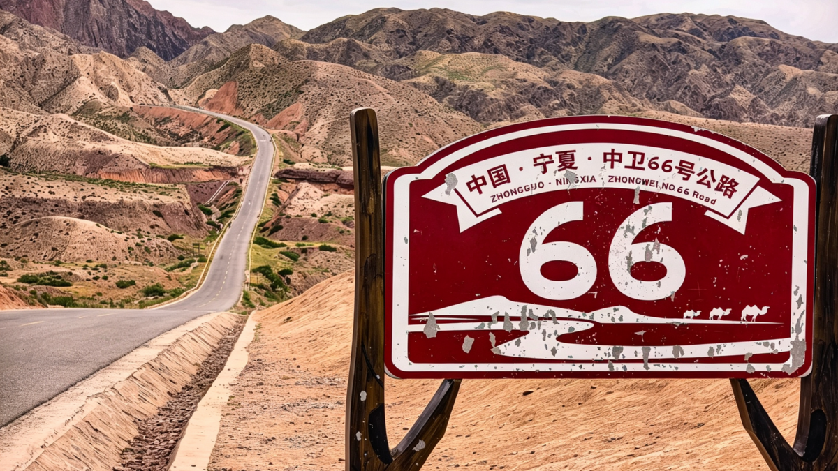
A Route 66 road trip from Chicago to Santa Monica covers about 2,400 miles across eight states, and 14 days is a realistic length: roughly 170 miles of driving a day on the old two-lane alignments, with time for museums, neon signs and detours to Petrified Forest and the Grand Canyon. The best seasons are May to June and September to October.
U.S. Route 66 was established on November 11, 1926, so 2026 is its centennial year. The highway was removed from the U.S. route system in 1985, and much of it was replaced by interstates, but long stretches of the old road are still drivable and signed as Historic Route 66.
How long is Route 66, and how far should you drive each day?
Plan on 150 to 230 miles a day. That sounds short, but the old road runs through small towns at low speeds, and the stops are the point of the trip. Driving it on the interstates alone would take about four days and miss most of what makes it worth doing. It is also one of the quickest ways to add eight states to your map of the states you’ve visited.
| State | Days on this plan | Highlights |
|---|---|---|
| Illinois | 1–2 | Begin sign in Chicago, Pontiac murals, Lincoln sites in Springfield |
| Missouri | 2–3 | Chain of Rocks Bridge, Gateway Arch, Meramec Caverns, Cuba murals |
| Kansas | 4 | About 13 miles of the route: Galena and Baxter Springs |
| Oklahoma | 4–5 | Blue Whale of Catoosa, Tulsa, Arcadia Round Barn, route museums in Clinton and Elk City |
| Texas | 6–7 | U-Drop Inn in Shamrock, Cadillac Ranch, the Midpoint sign in Adrian |
| New Mexico | 7–9 | Tucumcari neon, Blue Hole in Santa Rosa, the pre-1937 Santa Fe loop, Albuquerque’s Central Avenue |
| Arizona | 10–12 | Petrified Forest, Winslow, Flagstaff, Williams, Seligman, Oatman |
| California | 13–14 | Needles, Amboy, Barstow, Pasadena, Santa Monica Pier |
What should you do each day?
Day 1: Chicago to Springfield, Illinois (about 200 miles)
Start at the Begin Route 66 sign on Adams Street near Michigan Avenue. Stop in Pontiac for its murals and Route 66 museum. In Springfield, visit Lincoln’s home and tomb.
Day 2: Springfield to St. Louis (about 100 miles)
Walk across the Chain of Rocks Bridge over the Mississippi, a former Route 66 crossing with a bend in the middle, now open to walkers and cyclists. Ride the tram to the top of the Gateway Arch.
Day 3: St. Louis to Springfield, Missouri (about 215 miles)
Tour Meramec Caverns, see the murals in Cuba, and drive the old alignment through Devil’s Elbow.
Day 4: Springfield, Missouri, to Tulsa (about 180 miles)
Pass through Carthage and cross the short Kansas section through Galena and Baxter Springs. In Oklahoma, drive a stretch of the narrow original pavement near Miami and stop at the Blue Whale of Catoosa.
Day 5: Tulsa to Elk City (about 210 miles)
See the Round Barn in Arcadia, drive through Oklahoma City, then visit the Oklahoma Route 66 Museum in Clinton and the National Route 66 Museum in Elk City.
Day 6: Elk City to Amarillo (about 150 miles)
Stop at the restored U-Drop Inn in Shamrock, Texas, and reach Cadillac Ranch west of Amarillo in time for sunset.
Day 7: Amarillo to Tucumcari (about 115 miles)
Photograph the Midpoint sign in Adrian, then cross into New Mexico. Tucumcari’s motel neon is best after dark, so this is a short day.
Day 8: Tucumcari to Santa Fe (about 175 miles)
Stop at the Blue Hole in Santa Rosa, then take the pre-1937 alignment north to Santa Fe, which Route 66 bypassed after 1937.
Day 9: Santa Fe to Gallup (about 205 miles)
Drive south to Albuquerque for Old Town and the neon of Central Avenue, then west to Gallup.
Day 10: Gallup to Flagstaff via Petrified Forest (about 190 miles)
Drive the main road through Petrified Forest National Park, then continue through Holbrook and Winslow to Flagstaff.
Day 11: Grand Canyon detour (about 80 miles)
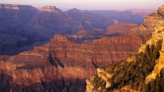
Drive to Williams and north to the Grand Canyon’s South Rim. Watch sunset from the rim. Base: Tusayan or Williams; in-park hotels on the South Rim were closed from August 31, 2026 because of water-line damage, so check whether they have reopened.
Day 12: Grand Canyon to Kingman (about 190 miles)
Return to Williams and follow the longest unbroken section of old Route 66 through Seligman, Peach Springs and Hackberry to Kingman.
Day 13: Kingman to Barstow (about 225 miles)
Drive the Oatman Highway over Sitgreaves Pass, a steep road with sharp curves and no guardrails in places; wild burros wander Oatman’s main street. Cross the Colorado River at Needles and continue through the Mojave Desert past Amboy to Barstow.
Day 14: Barstow to Santa Monica (about 130 miles)
Drive through Victorville, over Cajon Pass and through Pasadena to the End of the Trail sign on Santa Monica Pier. Avoid weekday rush hours in Los Angeles.
How do you add Petrified Forest and the Grand Canyon?
Petrified Forest is on the route itself: the park includes a section of the old road alignment, marked near the north entrance. The entrance fee is $25 per private vehicle as of November 2026, listed on the Petrified Forest fees page, and it is not one of the parks with the $100 nonresident fee. The park road closes at night, so check opening hours before you plan the day.
The Grand Canyon’s South Rim is about 60 miles north of Williams, roughly an hour each way. Its fee is $35 per vehicle, and non-US residents age 16 and older pay an extra $100 per person unless the group has an annual pass. If you plan both parks plus the Gateway Arch, compare these fees with the $80 America the Beautiful pass. Our guide to the best time to visit the Grand Canyon covers rim weather by month.
The National Park Service’s Route 66 travel itinerary lists historic places along the whole route and is a good companion to a turn-by-turn guidebook, since signs are missing in places.
When is the best time to drive Route 66?
May to June and September to October are best. Summer brings desert heat in Arizona and California, and winter can bring snow and ice to the high country around Flagstaff and Williams, near 7,000 feet.
| Months | What to expect |
|---|---|
| April–June | Mild across most states; storms possible in Missouri and Oklahoma |
| July–August | Over 100°F in the Mojave and parts of Arizona; busiest season |
| September–October | Best overall weather; fewer families |
| November–March | Some attractions close or shorten hours; snow possible in northern Arizona, New Mexico and the Texas Panhandle |
In the Mojave, carry extra water, keep the tank above half and know that services are far apart. The National Weather Service’s heat safety page lists the warning signs of heat illness. Parts of the National Trails Highway in California have closed for long periods because of flood-damaged bridges, so check county road status and use I-40 where the old road is closed.
How much does a 14-day Route 66 trip cost?
For two people sharing a room and a car, plan on roughly $4,000–$5,000 on a budget, $6,300–$7,800 mid-range and $10,500 or more for comfort, excluding flights. These are planning estimates as of November 2026. Route 66 is one of the cheaper long road trips because small-town motels and diners are inexpensive.
| Item | Budget | Mid-range | Comfort |
|---|---|---|---|
| Lodging per night | $80–$130 (classic and chain motels) | $140–$220 | $250–$400 (historic and city hotels) |
| Car per day | $45–$75 | $65–$100 | $90–$140 |
| One-way drop fee, Chicago to Los Angeles | Varies by company; can reach several hundred dollars | ||
| Fuel for about 2,500 miles | $350–$450 | $350–$450 | $400–$500 |
| Food per person per day | $35–$55 | $65–$95 | $120 or more |
| Park fees, museums and attractions | $150–$250 | $300–$450 | $600 or more |
| Rough total for two | $4,000–$5,000 | $6,300–$7,800 | $10,500 or more |
What to book ahead
- One-way rental: book early and compare total prices; see our guide to renting a car for a road trip.
- Grand Canyon area lodging: book Tusayan or Williams early, since South Rim hotels inside the park were suspended in fall 2026.
- Classic motels: popular ones in Tucumcari, Holbrook and Seligman fill on summer weekends.
- Gateway Arch tram: buy timed tickets a few days ahead in summer.
What if you have less or more time?
- 10 days: use the interstate for parts of Illinois, Missouri and Oklahoma, skip the Santa Fe loop and drop the Grand Canyon night.
- 18–21 days: add a second night in Santa Fe, a day in Albuquerque, a night at the Grand Canyon and a side trip to Sedona from Flagstaff.
For a wider look at budgeting fuel, food and lodging on any long drive, see our guide to how much a road trip costs.
Bottom line
Two weeks is the right length for Route 66: about 2,400 miles at 150 to 230 miles a day, with time for the Grand Canyon. Drive in late spring or early fall, book the one-way car first, follow a turn-by-turn guide where signs are missing, and save the interstate for days when you need to make up time.
FAQ
How long does it take to drive Route 66?
Two weeks is ideal for the full Chicago to Santa Monica route with stops. It can be done in 10 days with some interstate driving, but less than that leaves little time off the road.
Is Route 66 still drivable?
Much of it is. Long sections remain as state and local roads signed Historic Route 66, while other parts are under interstates or closed, so a guidebook or route map helps.
Which direction is best for Route 66?
East to west is the traditional direction, ending at the Pacific in Santa Monica. Driving west also means the sun is behind you in the mornings.
Why is 2026 a special year for Route 66?
Route 66 was established on November 11, 1926, so 2026 marks its 100th anniversary, with events held along the route through the year.